Trail 458
Anello del Maggiociondolo
The ANPIL area of Badia a Passignano is a mixed landscape of woodland and cultivated land, characterized by Mediterranean and sub-mountain vegetation. Typical tree species include downy oak, holm oak, hornbeam, manna ash, cypress, and in some areas reforestation pines.
The trail takes its name from the Laburnum (Maggiociondolo), a rare leguminous tree in hilly areas, recognizable by its hanging, fragrant yellow flowers that bloom in late spring. Its hard wood was once used to make bows. The area is also home to wildlife such as wild boar, badgers, foxes, roe deer, and birds like the woodpecker.
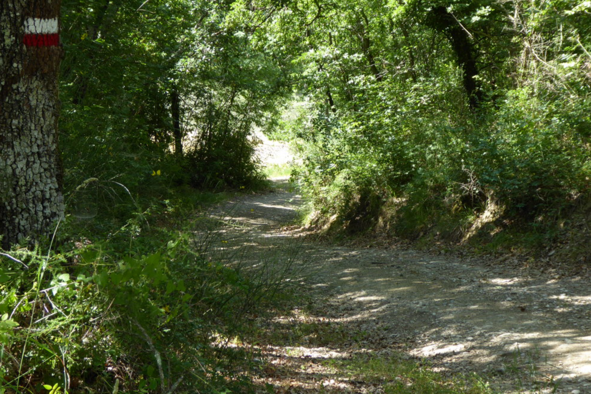
The route starts at Badia a Passignano, where parking is available, and initially follows CAI trail 460. It descends along Via Poggio al Vento, first paved and then unpaved, offering beautiful views of the Benedictine abbey. After crossing the Fosso di Rimaggio stream, the trail reaches the Maggiociondolo rest area with an information board. From here, the path enters the forest along an old, partly eroded road that remains easy to walk.
The route climbs gently, passing abandoned rural buildings and vineyards, and opens to wide views over the Val di Pesa, including Tavarnelle, Barberino, and San Casciano. At about 450 m elevation, it reaches the fortified medieval hamlet of Poggio al Vento, once a castle dominating the surrounding valleys. The trail then descends through woodland and white gravel roads, eventually returning to the Maggiociondolo rest area and back to Badia a Passignano.
A short variant is possible in dry conditions, descending more steeply through the forest near Via di Rignana and rejoining the main route near the Maggiociondolo rest area.
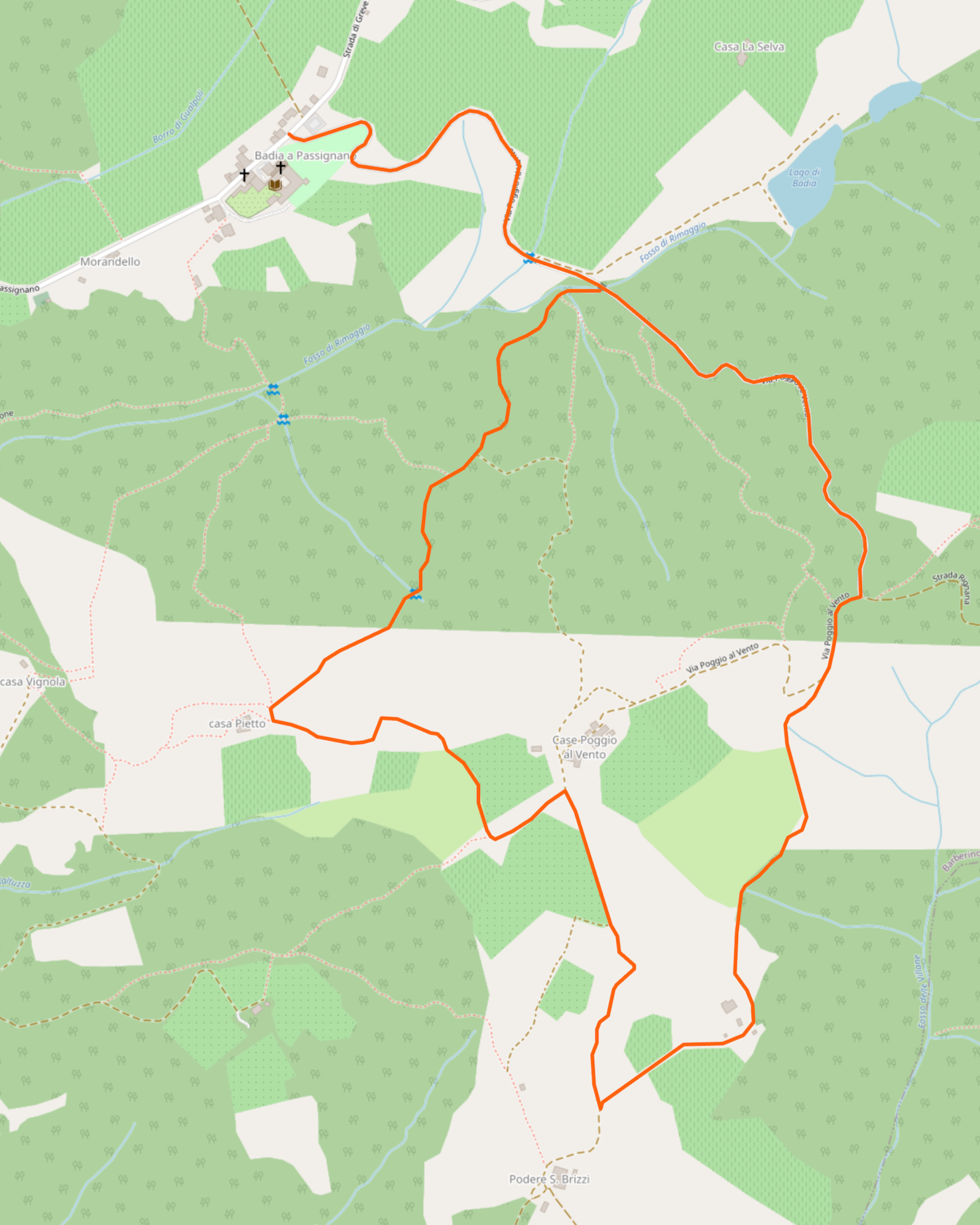
Credit to openstreetmap.org
Trail Overview
Distance: 6.6 km
Duration: approx. 2 hours 30 minutes
Difficulty: Moderate
Elevation gain: 275 m
Access: By car to Badia a Passignano
Recommended map: CAI Firenze – Map 4
Category: Barberino-Tavarnelle trail network
Area: Chianti Fiorentino, Val di Pesa
Credit to caifirenze.it